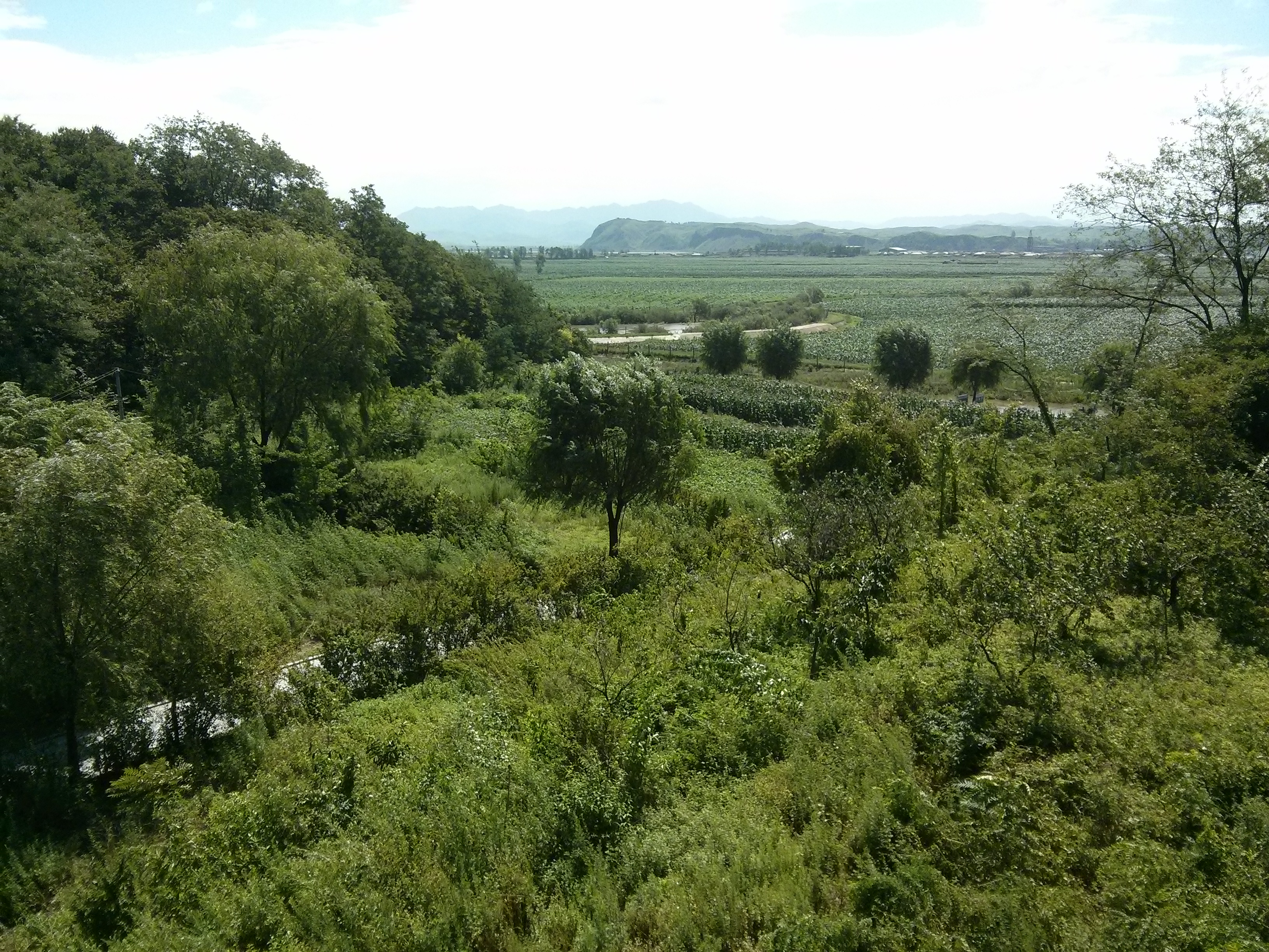
It is a bit sad to admit but most of my knowledge about Korea has come from the television show MASH. This was no more apparent than on the day we made the 60 kilometre drive from Seoul to the Demilitarised Zone. This is a strip of land running 250 kilometres long and about 4 km wide that is the defacto border between north and South Korea. It basically cuts the Korean Peninsula in half along the 38th parallel and was created as a buffer by the UN in 1953 at the end of the war. The demilitarised zone is 2 km each side of the actual border and is possibly the most militarised area in the world.
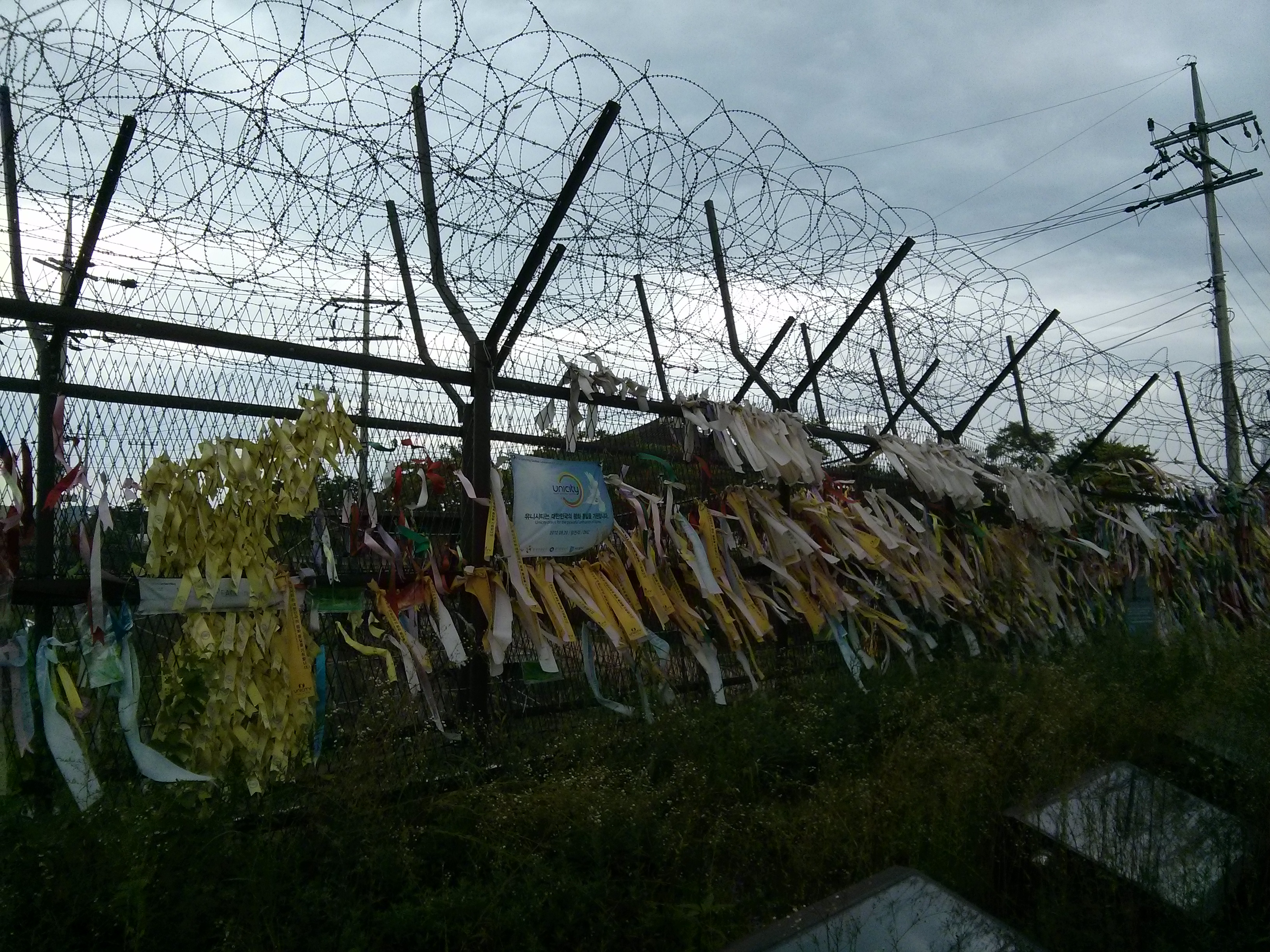
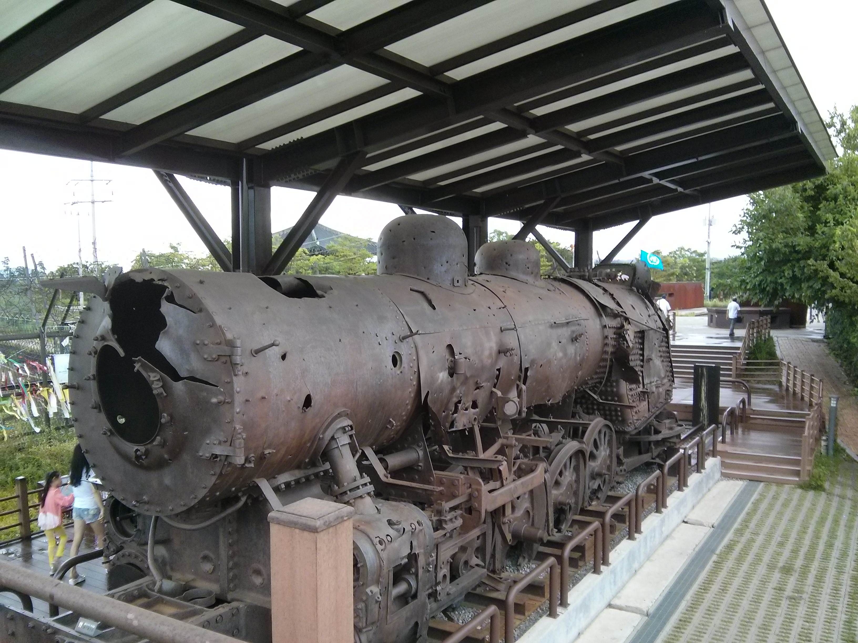
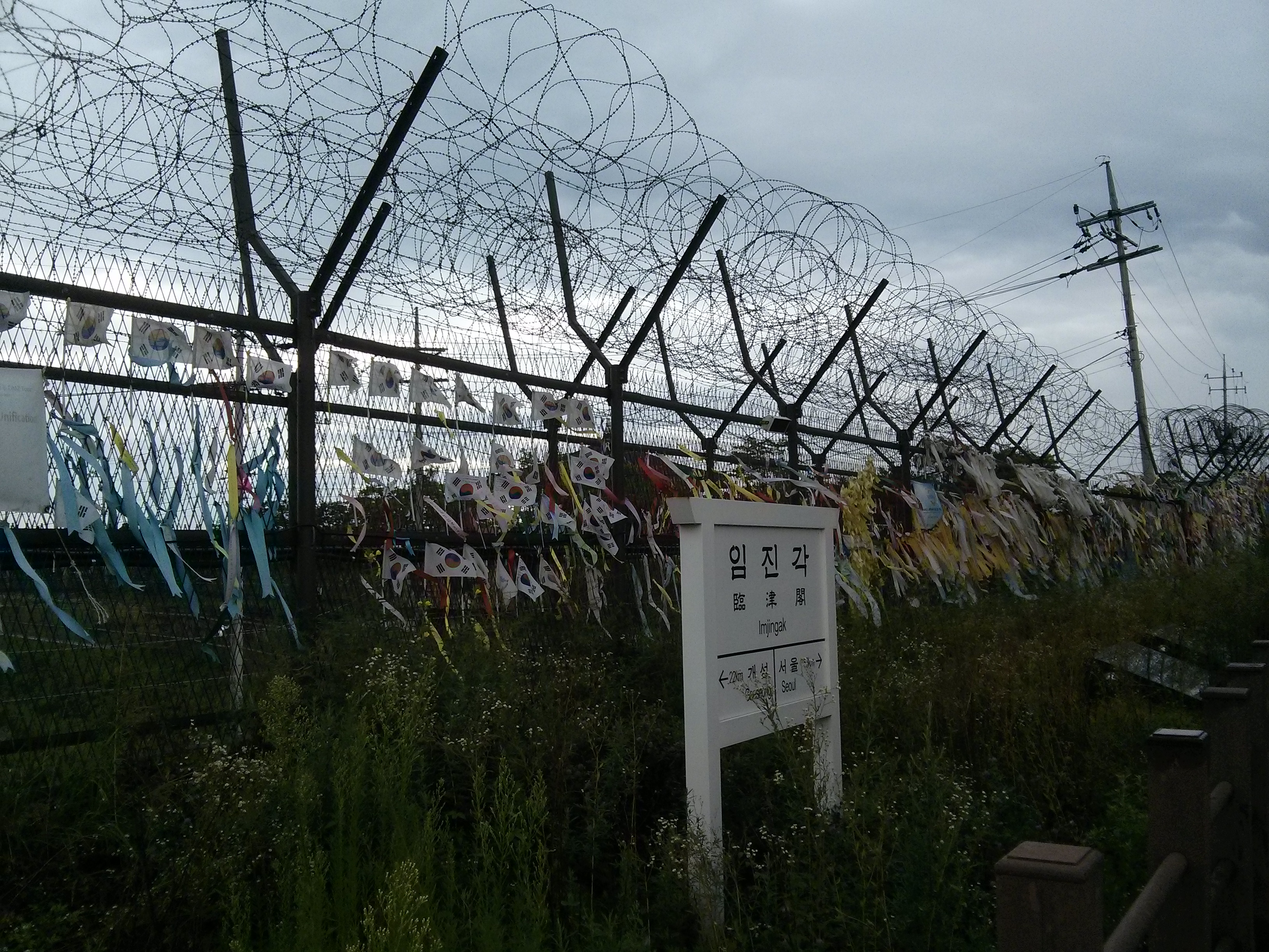
The first thing you notice is the drive in. The freeway that you take runs alongside the Han river then along the Imjin river which forms the border of between north and South Korea. The left hand side of the road as you head north is lined in fences of razor wire with manned watch/gun towers every 50 metres or so. It is quite the experience driving through an area obviously on such high alert. On arrival you come upon a train that had been partially renovated but had the war and shrapnel damage left.
The place itself is a bit of a fizzer as you can’t get very close to anything and the rules around photography nearby are quite strict and are enforced by well armed military types in berets. The DMZ is generally known for the JSA or the Joint Security Area where the two countries troops stand metres from each other in what has been a 60 year staring contest. The JSA is not an area where us mere mortals get to go to and has been the site of several tensions, killings, defections and shootings over the years. Panmunjeom which is where the armistice agreement was signed is an abandoned village in the middle of the DMZ.
There are two small villages in the inside of the DMZ but this is mostly for show. The South Koreans have a small number of people living there but the northern side is purely a propaganda village. The south built a 323 foot tall flag pole which was almost immediately followed by a 525 foot tall one from the north…and the pissing competition continues.
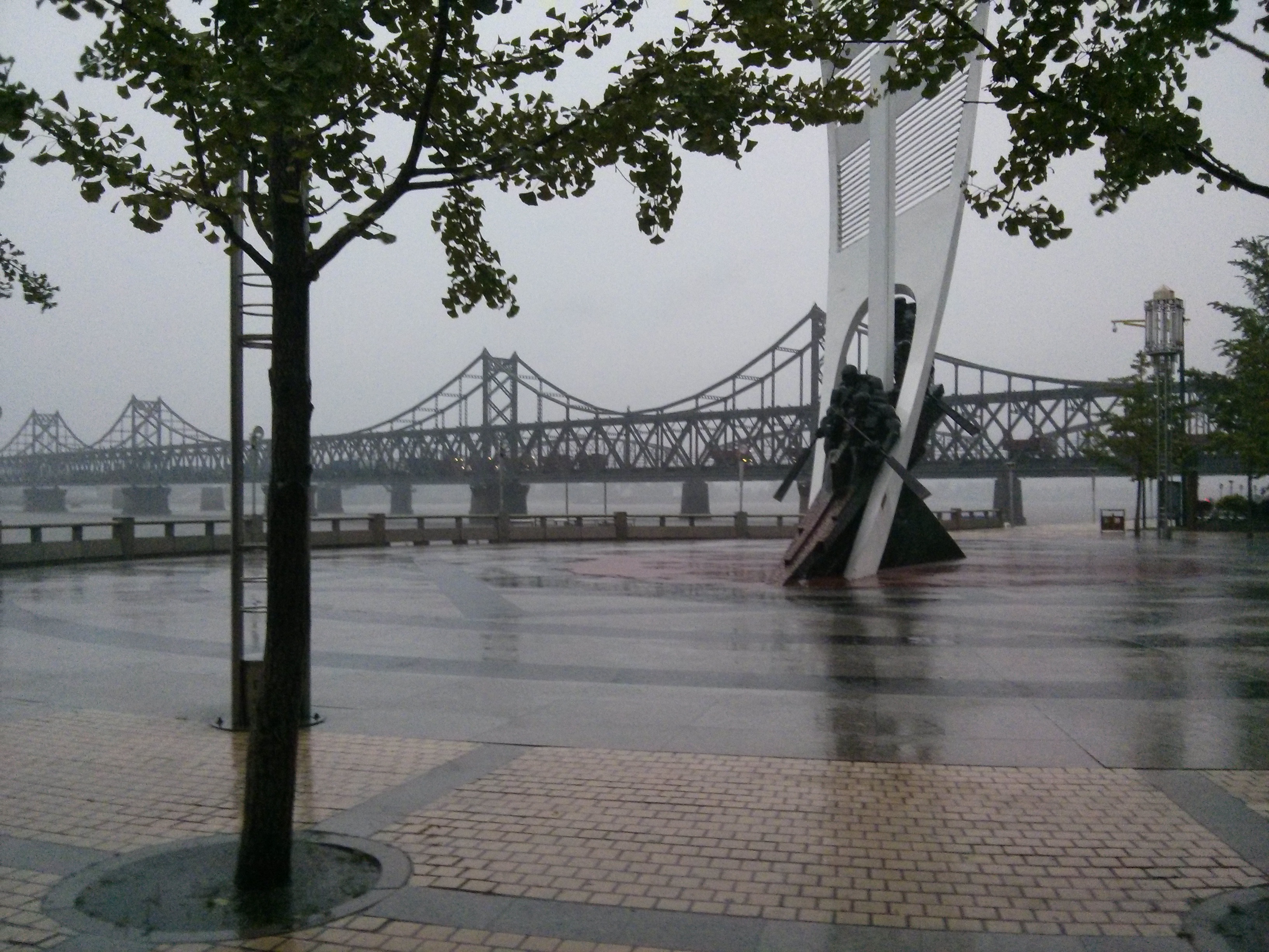
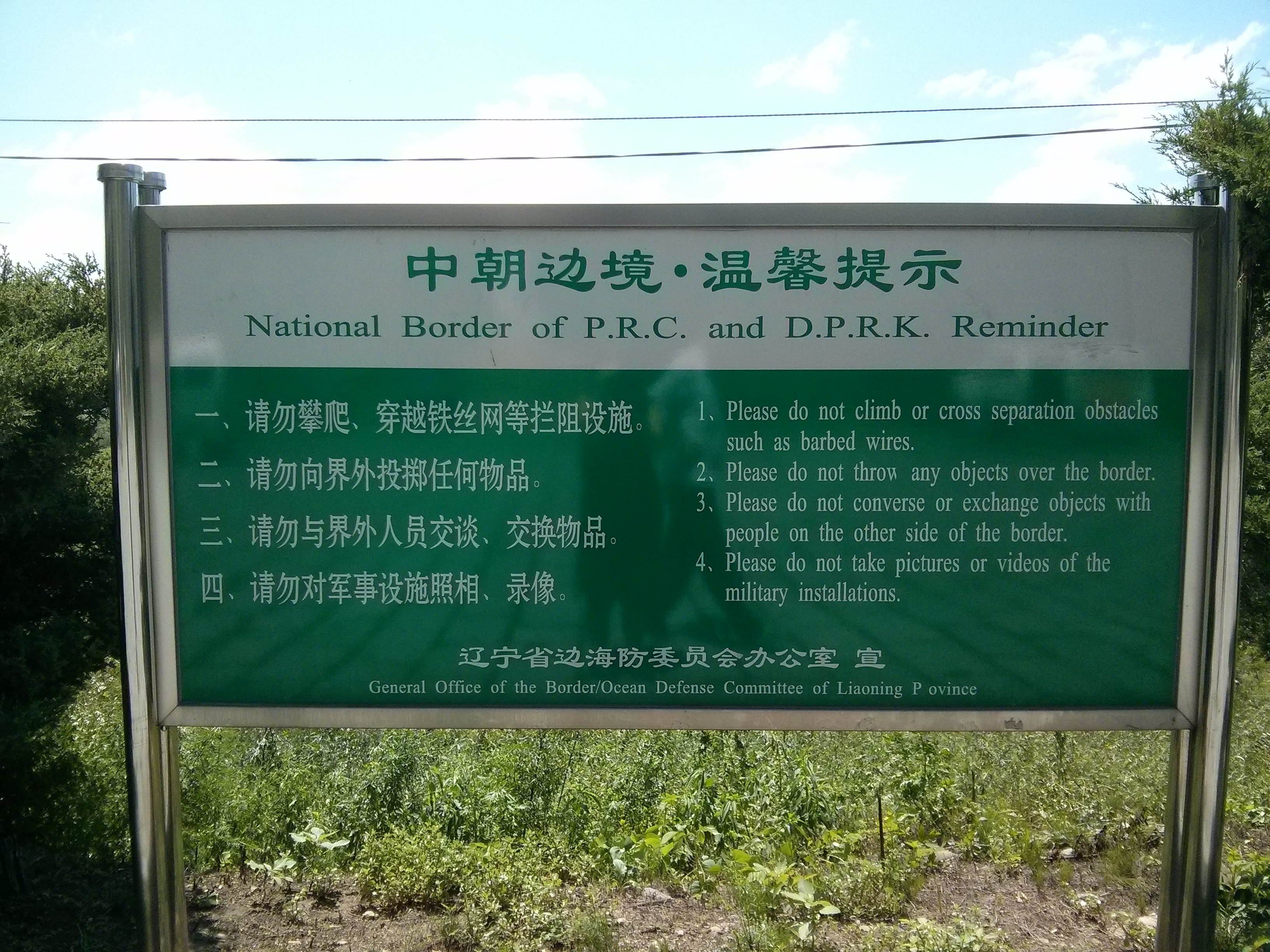
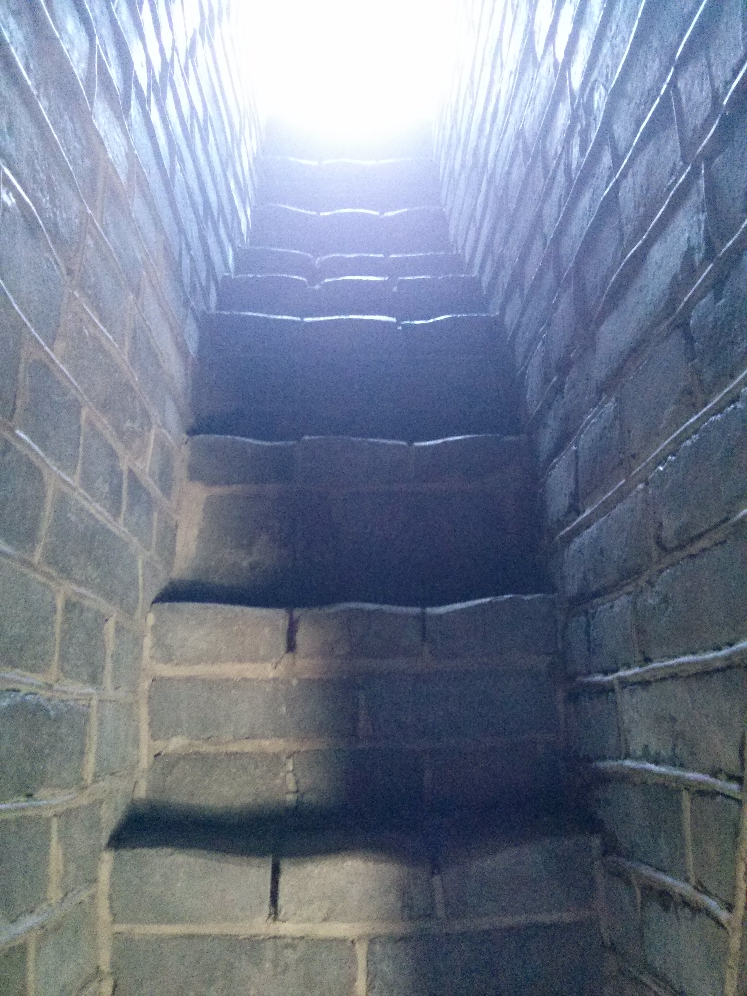
Since 1974 there has been four separate incursion tunnels discovered underneath the DMZ dug by the North Koreans…who, once found out, claim them to be coal mines (despite a distinct lack of coal). We were able to enter tunnel number three which is dug 73 meters below the DMZ and tourists can make it to within 170 metres from the border…underground…quite a bit different to the 8 metres from the barbed wire fence in Dandong…but I guess the Chinese do not have the same sort of history going on there. Tunnel number three is 1.9 metres tall at its highest point…for the record I am 1.87 metres tall…
They supplied us with safety helmets and sent us down the tunnel. Needless to say I spent the next chunk of time bent over like a hunchback while intermittently cracking my skull on the roof of this damn tunnel. I did the count as the first crunch came fairly early on and by the time I left the tunnel I had sconned myself 48 times…one of which was a serious clunk that nearly knocked me down. Jill thought this was very funny as she heard the clunk noises (closely followed by a mini tirade of obscenities from me) at regular intervals as I trundled up the ramp.
As part of the tour we went to the border train station (Dorasan Station) which was jointly built at great expense and was never used due to a change of heart from an unpredictable northern decision. So bizarrely there is this white elephant train station in the middle of nowhere. The other thing of note is the nomenclature of all of the elements here…everything is named something like the unification bridge, freedom railway, peace park…it is all about unification despite thousands of armed troops and military equipment ensuring nothing like it.
Interestingly the DMZ has created a 250 km long and 4 km wide strip through the middle of the country which has not been touched for over 60 years. This has created one of the worlds rarest ecosystems and houses rare animals and plants as nobody goes in there to bug them. When created the place was strafed with ankle mines from helicopters. There are land mines throughout the area but clearly the animals are much smarter than humans and have found a way of living around them.
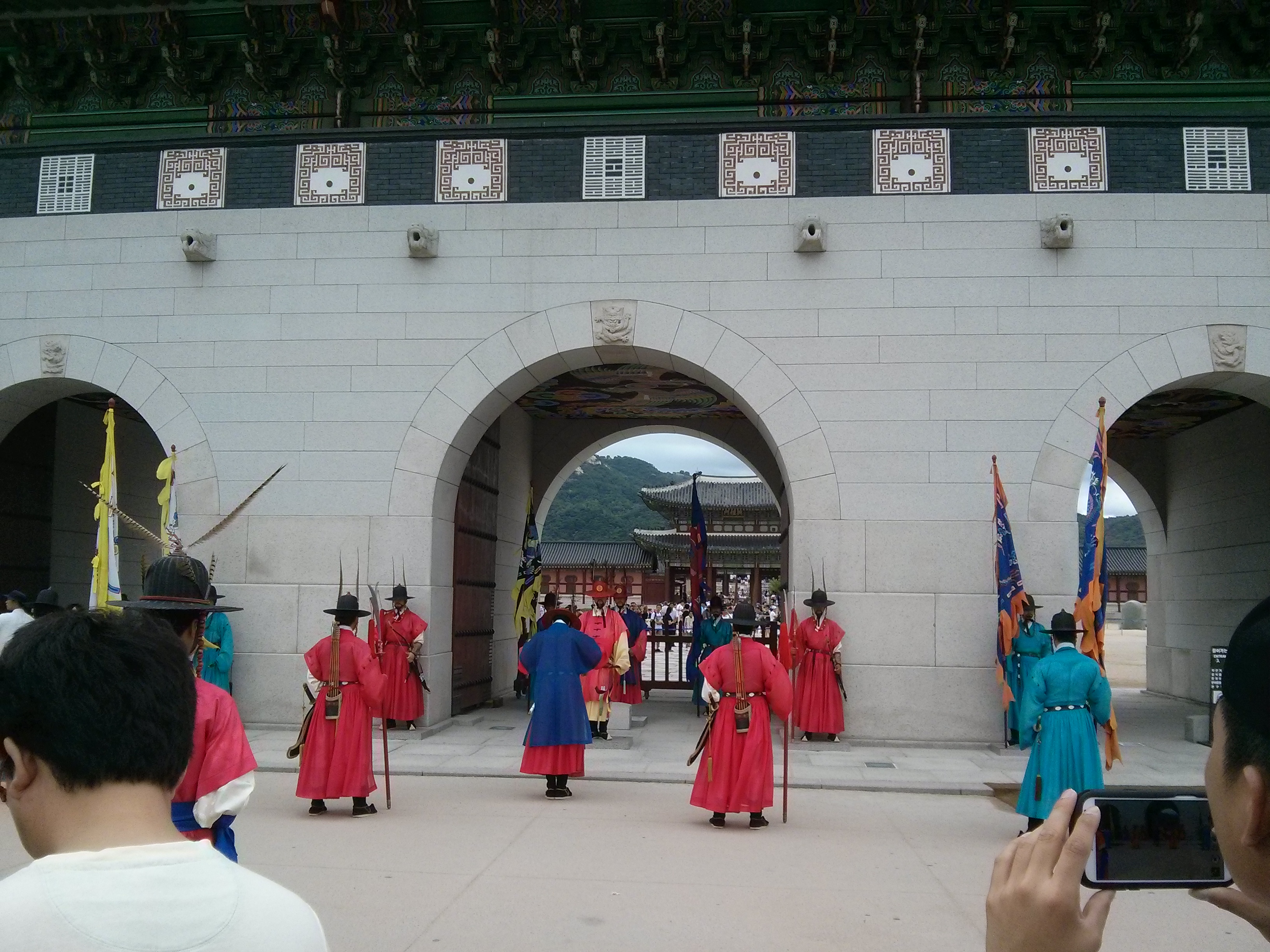
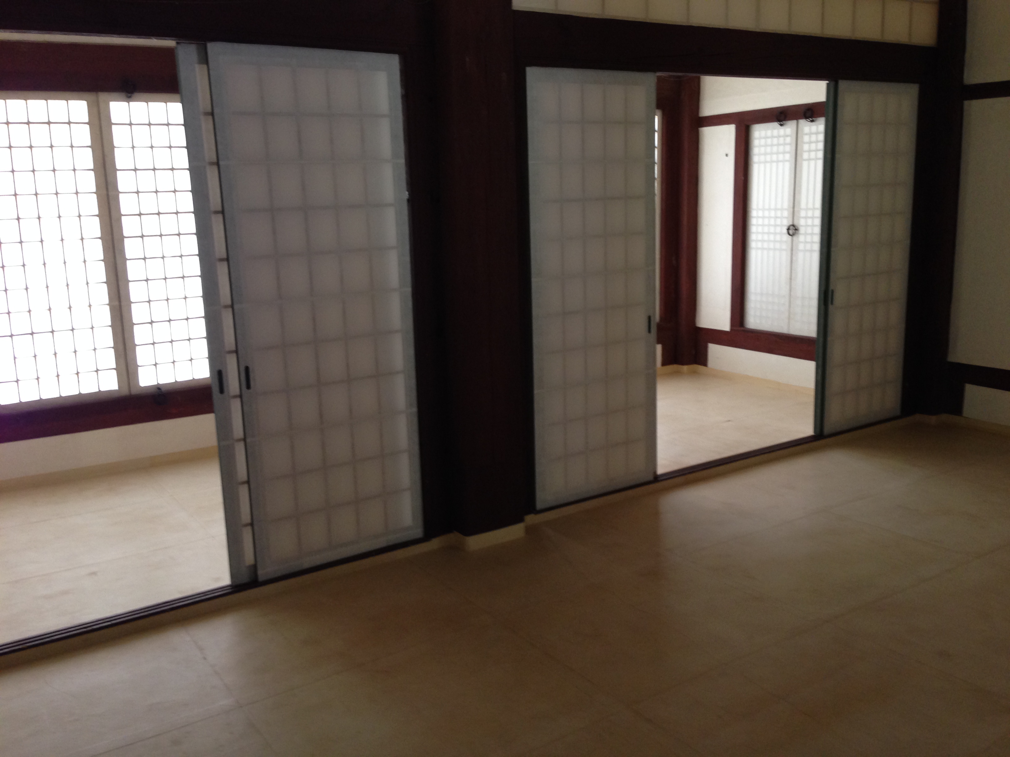
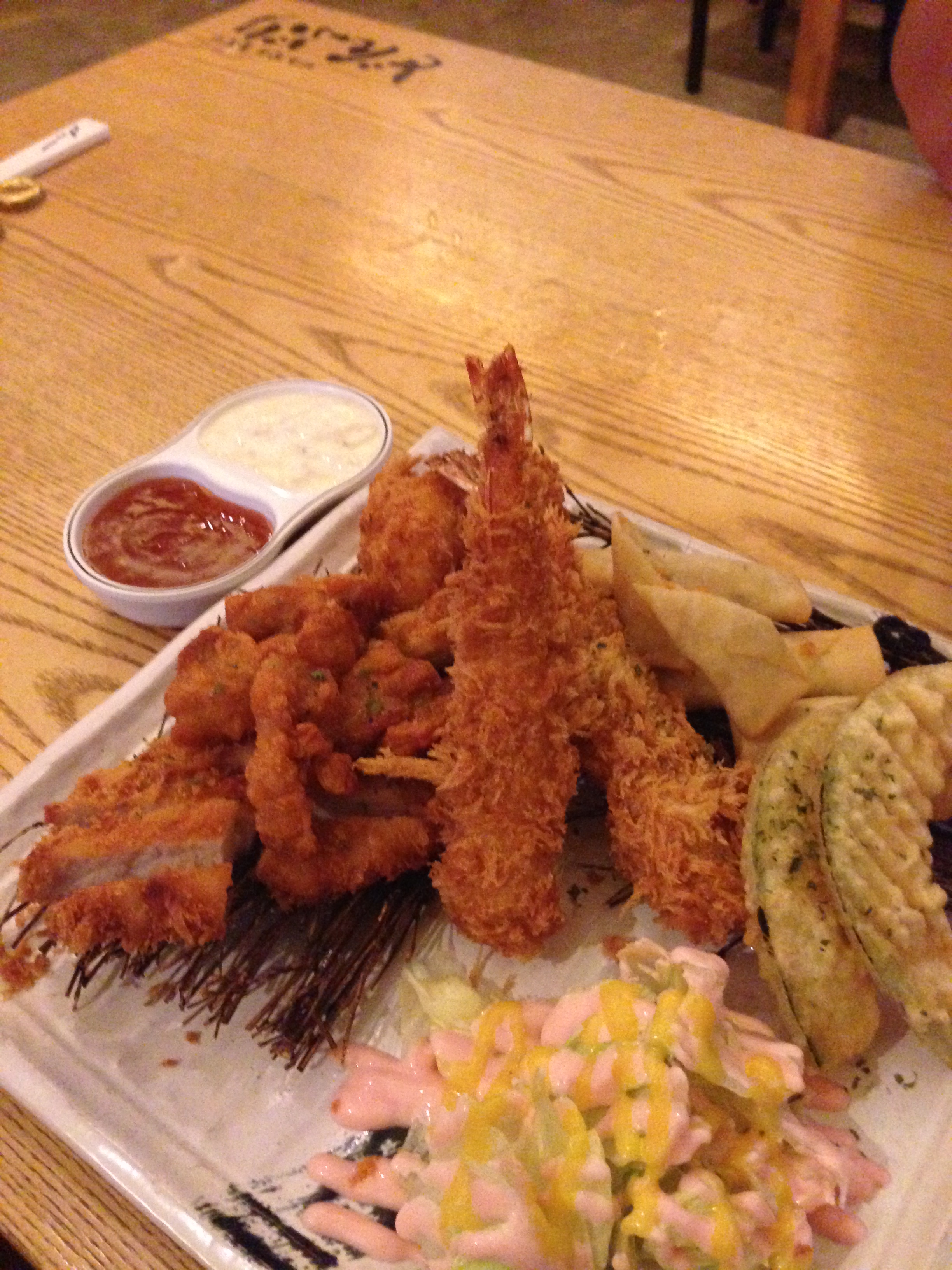
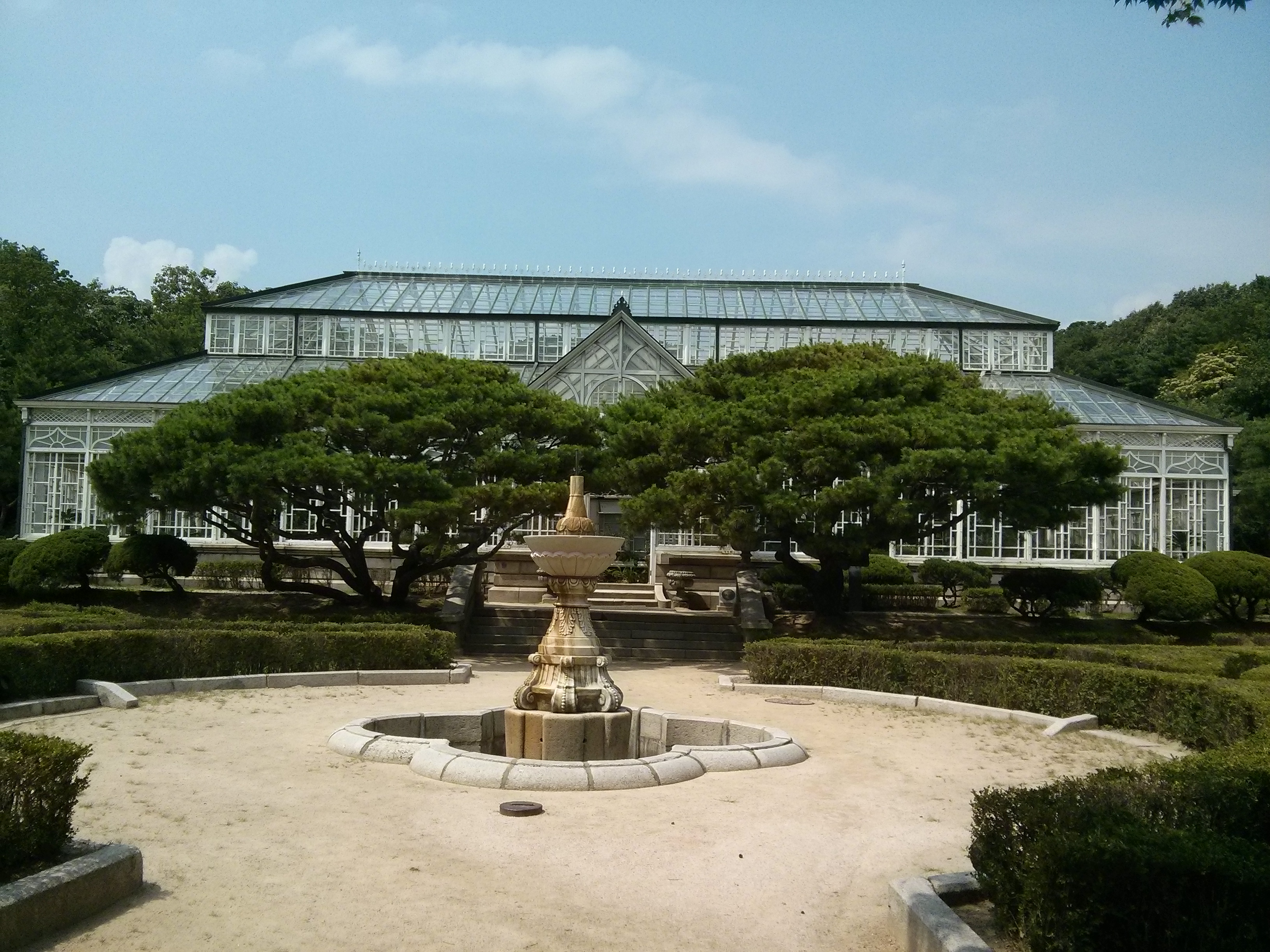
Back to Seoul for some more touristing then back to China we head. The remainder of our time in Seoul was spent looking at the identical palaces and sampling the different foods. Local fare and Japanese got a fair run but we had our first curry since leaving India and really enjoyed it…it was good to see that 4 months of curry hasn’t broken us and that after a reasonable break we can enjoy them again.
Possibly due to all that was lost during the war…Korea has a tendency to have a museum for everything that can be imagined. Everywhere you turn you will see a sign pointing you towards a museum of some sort or the other…some of see include: Furniture, teddy bear, locks, bank, knots, stamps, insect, kitchen utensils, embroidery, chicken art, tea, owl, kimchi, rolling ball, postal, agricultural, textbook, wicker, tax, robot, old fragrance, camera, electricity, confectionary…and many more.
The last thing that needs to be mentioned about Seoul is the incredible public transport system. The metro will match any city in the world, and beat by far anything Australia has to offer. But this is further enhanced by busses and taxis that are clean, efficient, frequent and safety and rule conscious. The only real detractor to Korea that we have found has been the expense… the cost of living and eating and staying is very high when compared with most of the nations around it…but it is very civilised.
