Puerto Madryn is an Argentine city of a little under 100,000 on the coast of northern Patagonia. It is known for its sandy beaches and restaurant-lined promenade that faces Golfo Nuevo Bay. Between May and December each year, the bay is overrun by southern right whales that come to the bay to breed. In the late summer months, right whales come so close to land, you don’t even need a boat tour to see them.
Looking at the tourist blurbs, the main things to do (when we were there) was to check out the Magellan penguin colonies and swim with the seals. The prices for doing this from the boat were exorbitant so we chose to wander about instead.
As we wandered along the pier towards town we heard a barking sound, only to look down and see a bunch of seals resting on the steps and landings on the main pier. After wandering about for a few hours we checked again and the few that were there were joined by some friends and about 10 seals were kicking back on the platform.
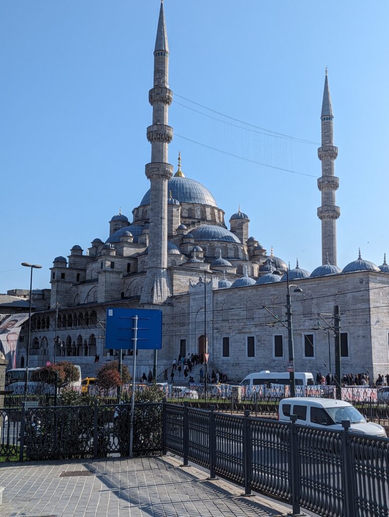
Continuing to walk along the pier we got great city views and upon reaching the foreshore we were met with a wide beach stretching for around 3 km complete with seven set up beach resorts and free space in between.
The promenade is lined with statues, cafes, restaurants and bars. It is clean and safe with a really relaxing feel. There were markets set up (probably to relieve the cruise ship patrons of their funds) and there was even a couple of teenagers putting on a (very impressive) tango performance as a form of busking.
The thing that struck me most about the place was just how cheap it was. Everything that we looked at was very reasonably priced. We went to the grocery store to get some necessary items and in poking about found out that we could buy 1 litre bottles of beer for between $1.50 and $2.
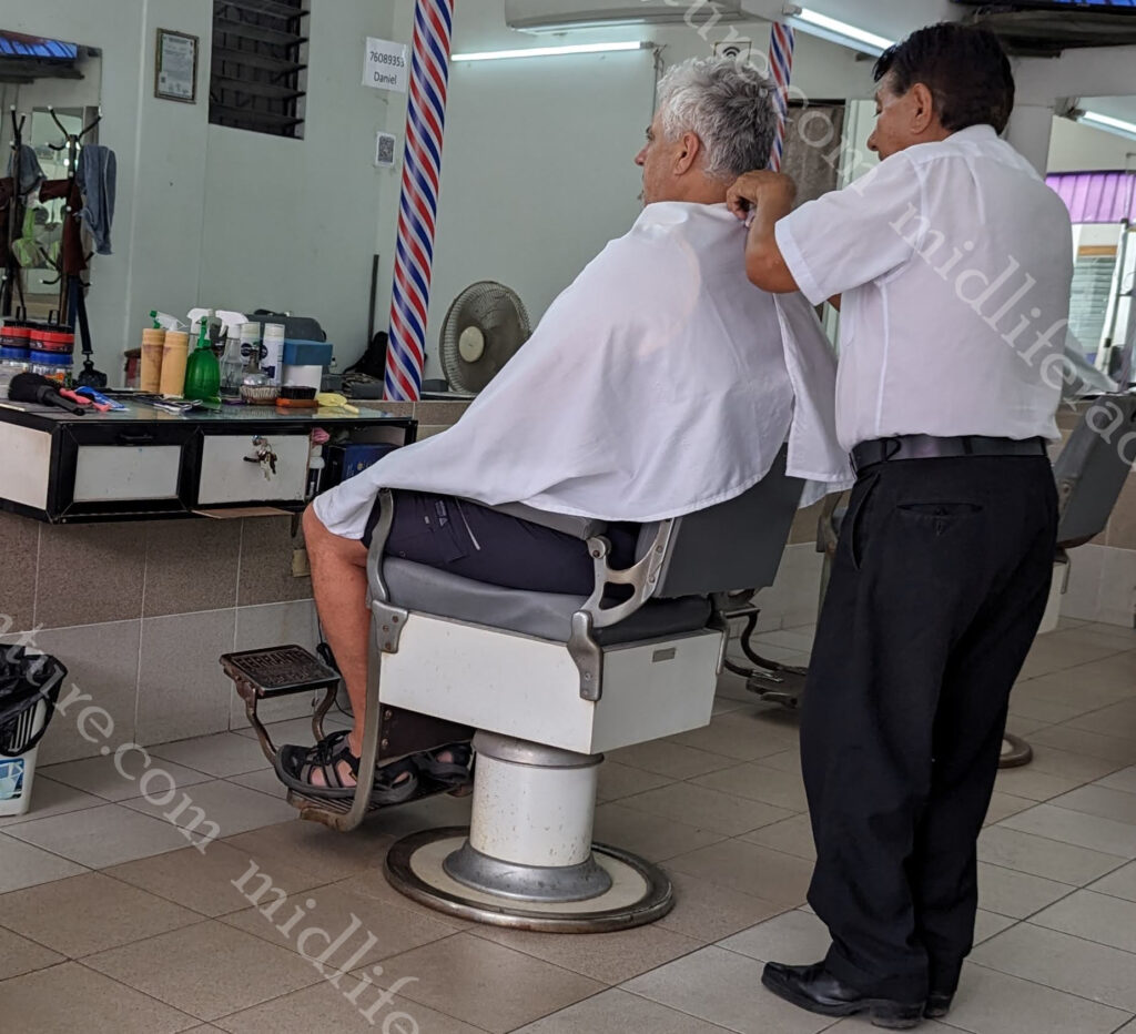
As we headed around the corner I stopped for a haircut ($4) and then we settled into a little microbrewery for lunch and a couple of beers. The portion sizes were excessive but my steak sandwich came with bacon,egg, cheese, lettuce, tomato and a side of chips, while Jill’s burger required a jaw that detached. Huge meals coupled with two pints (each) and the bill saw us getting change from a $20. We even got unshelled peanuts while we contemplated our options.
While only small, this place was fantastic. Nothing was overpriced and the place just felt right. The more we see of Argentina, the more we like. Our shopping expedition saw Jill scoring a new singlet and satisfying her chocolate fix with a stockpile of Kit Kats for next to nothing. I even found the rugby shop.
I did some looking to see how much the accommodation costs were, given that everything else was so cheap. I found nice cheap hotels with beachfront views coming in in the mid 30’s and higher end options maxing out at about $100. I can absolutely see us coming back here and setting up camp for a week or two, especially when the whales are mating.
Buenos Aires is the capital and main city of Argentina. The city is located on the western shore of the Río de la Plata, on the southeastern coast. “Buenos Aires” is Spanish for “fair winds” or “good airs”.
According to the blurb it was the Spanish coloniser Pedro de Mendoza (in 1580) that established the first settlement there, which he named Nuestra Señora Santa María del Buen Aire (“Our Lady St. Mary of the Good Air”). Buenos Aires locals are referred to as porteños (“people of the port”) because so many of the city’s inhabitants historically arrived by boat from Europe.
Our arrival into Buenos Aires was similar to those, and we came in through the port. We were just one of several ships in that day, and to say that the port was bedlam, would be an understatement. We had teamed up with our dinner buddies (Kurtis and Mark) who had a thing for gardening, so we got out of the port and Ubered our way to the botanical gardens (for about $4).
I am much more a statue guy than a garden guy, and the photos clearly reflect that. That said, the gardens were nice, with the exception of the mosquitos that absolutely loved by high quality Aussie blood. There were trees aplenty and even a butterfly garden buried among all of the foliage.
To say that Buenos Aires is a dog friendly city would be an understatement. The sheer number of dogs in public parks and on leashes wandering the city was astounding. And these pooches are seriously pampered.
Sadly the wealth and influence of the city far overshadows the rest of the country. But as with all cities Buenos Aires also reflects Argentina’s economic and social problems. Homelessness and drug use were evident, although at no point did we feel unsafe or uneasy.
After the gardens we found a few little holes in the wall that fed and watered us for a ridiculously cheap price. Jill and I had 3 empanadas each washed down by a pint of the local brew (and a sampling of some others – including an on tap gin and tonic) for the princely sum of $8.40. After that we found a local deli and then a bakery, damn I think I might be falling in love with Argentina.
One of the major attractions of the city is the Recoleta Cemetery. In 1822, the former garden was turned into the first public cemetery in Buenos Aires. Known as the “city of the dead” or “city of angels”, Recoleta cemetery has a layout similar to a city with one main street, diagonals, narrow corridors and internal passageways.
It is set in an area of 5.5 ha (14 acres) and you will find around 4800 vaults and mausoleums. The cemetery is more of an open air museum than anything else. As soon as you walk through the doorway you are met with amazing architecture, works of art and sculptures.
More than 20 presidents, 25 city mayors, 40 governors, Nobel prizes, writers, politicians, engineers and even a caretaker are buried at Recoleta cemetery. But the most famous is that Recoleta Cemetery is the resting place for María Eva Duarte de Perón (known as “Evita”).
Outside the cemetery is a park known as Intendente Torcuato de Alvear. This area turned into a huge market on day two of our exploring.
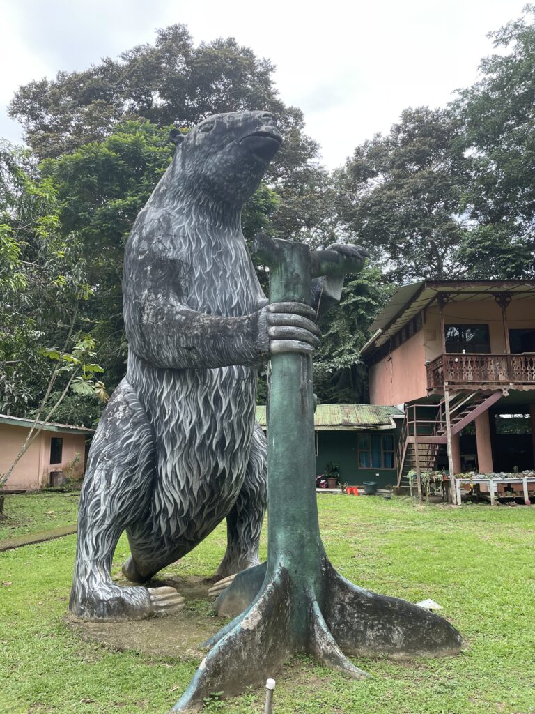
Plazoleta Chabuca Granda (the oldest tree in town) also sits in the square outside the cemetery. It even has a statue of a dude holding up one of the super heavy branches.
Just next door to the cemetery you can find the Nuestra Señora de Pilar church. Built in 1732 it is one of the oldest in the city.
In reality I got a bit turned around when exploring here. On day one we were at the cemetery and on day two we were at the Nuestra Señora de Pilar church (to follow). In reality these are side by side but I entered and exited the cemetery from the same way and did not even realise this. The next day we came at it from the opposite side and took a photo of the church that I had almost sat on the steps of the day before.
Buenos Aires is an amazing city with wide avenues and a true cosmopolitan flair that feels more European than Latin American. There are some huge colonial landmark buildings but the real feel of the city is the differences between the individual neighbourhoods. Each one has its own distinct feel and have their own meeting places, generally coffeehouses or bars.
At night Buenos Aires’s nightclubs (boites) come alive as people flock together to dance the tango.
This famous dance originated in the lower-class areas of the city and is said to ‘reflect the soul of the Argentina’.
While we didn’t go to a tango club, the ship did bring some of the best dancers on board that evening to put on a show.
If you want to do the full tourist thing there are any number of these boites that will offer you dinner and a tango show.
But in reality, if you wander about a bit at night, you almost cant help but run across random tango breakouts.
As we were in town for two full days and day one was taken up with gardens and the cemetery, day two saw us hitting the major sights and the neighbourhoods. Lets say up front, two days was not enough. But it was what we had, so we hopped a cab ($5) to Plaza de Mayo which is the oldest public square in Buenos Aires.
The square is named after the Argentine revolution, which began on 25 May 1810. It has been the scene of many of the most important events in the city’s history, from the second founding of the city in 1580, through the revolution of independence, to more recent political demonstrations.
Around the square are several important buildings: the Cabildo (old town hall now national museum), the Metropolitan Cathedral (where Pope Francis conducted mass for 20 years), the Casa Rosada (Pink House or Presidential Palace and site where Evita gave some of the more famous speeches), the national revenue office, the national bank and the intelligence secretariat.
As a random bit of knowledge, apparently, they used to do a version of running of the bulls in the square, prior to the revolution.
The Pirámide de Mayo is at the hub of the Plaza de Mayo and is the oldest national monument in the city.
It’s construction was ordered in 1811 to celebrate the first anniversary of the May Revolution.
It was renovated in 1856 and in 1912 was moved 63 metres with the idea that a much larger monument would eventually be constructed around it.
Having done the plaza we walked past the bank and along one of the many parks to explore the city more fully. We wandered along wide avenues and took in the interesting mix between the old and new parts of the city.
La Boca is a colourful neighborhood of Buenos Aires that is characterised by the street artists, narrow streets and brightly painted buildings. In the middle of La Boca is Caminito, a narrow alley flanked by zinc shacks that reflect the district’s early immigrant days. Caminito is more of a street museum than a traditional alley and the area gathered significance as the inspiration for the music for the tango “Caminito (1926)”.
Asado is the term used for South American barbecue. This type of meal is common in Argentina, Chile, Paraguay, Peru and Uruguay and usually consists of beef, pork, chicken, chorizo, and morcilla (blood sausage). These are cooked on an open fire or grill (called a parrilla) and usually eaten with side dishes and red wine.
Buenos Aires is the city with the highest number of football stadiums in the world. The city has at least 18 professional teams, and the passion for the sport is visible on almost every street corner.
The passion of Argentine football fans is legendary creating an electric atmosphere at each game. The fans choreograph chants, design tifos (giant displays), and ignite the stadium with their undying passion. When doing some research I found the following “Argentine football stadiums are not just structures made of bricks and cement. They are temples of passion, history, and culture. Each corner echoes with tales of legendary matches, iconic goals, and unforgettable moments. Every seat has witnessed emotions ranging from the ecstasy of victory to the heartbreak of defeat.”
How can you really argue with that.
Our last part of the day involved a run down the hill from the cemetery past the Recoletta, through the park (and the market), past the statue in honour of Carlos María de Alvear a military revolutionary (and the towns first mayor).
Across the bridge, through the park, past the bizarre statues of kangaroos and to the massive law school building. I tried to get the story behind why there were kangaroo statues in Buenos Aires but had absolutely no luck.
We didn’t get here but in the Parque Tres de Febrero you can find the 1960s-built planetarium. Looking like a UFO it has projection room with a 20 meter dome and reclining seats for viewing projections of the stars.
And our final port of call before heading out of town was to the Floralis Genérica. This is a sculpture made of steel and aluminum located in Plaza de las Naciones Unidas (United Nations Plaza) that was donated to the city by the Argentine artist.
Buenos Aires was amazing. It was neat, clean, friendly and extremely cheap. Meals, taxis and ubers were all incredibly cheap and we have already decided that we will be coming back here many more times.
Uruguay is a country of about 3.5 million people with half of these concentrated in the nation’s capital, Montevideo.
It is one of the most stable governments in the world (unlike some of its neighbours).
Before we get into our meanderings it must be said that visiting Uruguay was more like visiting some European capitals than being in South America. It has the longest history of democracy of any Latin American country and has been politically stable most of the time.
Montevideo
Leaving the port we walked straight across the old town part of the city to the other side of the peninsula where we landed upon La Rambla. This is a waterfront promenade that continues (22.2 kilometres) along the Río de la Plata down the entire coast of Montevideo. The promenade, passes fish stalls, piers and parks.
Along La Rambla for a while and a quick break left saw us heading back into the heart of town.
As we climbed the hill from La Rambla we came across the Teatro Solis, Uruguay’s premier concert venue that was originally built back in 1856. The theatre was named after Juan Diaz de Solis, who was the first European explorer to land in modern day Uruguay.
From the Teatro Solis, a quick pop around the corner delivers you directly into the true heart of the city, the Plaza Independencia. This is truly the beating heart of the city and at the centre of the square is a monumental equestrian statue that stands atop the underground burial chamber for Uruguayan revolutionary José Artigas.
At one end of the square is the Palacio Salvo which is a lavish historical building that has been turned into the Tango Museum of Montevideo.
To the right of the square is the Palacio Estevez which was designed in 1873 and was once the working place of the President but has now been converted to a museum that houses artifacts and mementos of the Uruguayan presidency and its office holders. Ads to the mix some government buildings and big hotels and you have almost circumnavigated the Independence square.
At the opposite end to the Palacio Salvo is the Puerta de la Ciudadela or Gateway of the Citadel. Founded in 1724 the plaza was once the site of the original citadel.
The Puerta de la Ciudadela is virtually all that is left of the wall that surrounded the original city.
The citadel was torn down in 1829.
Leaving the square, through the gateway, you find yourself on a pedestrian mall that wanders down the hill through the heart of the old town (Ciudad Vieja). The main drag is full of impressive colonial-style buildings. Roads and laneways spur off in each direction, landing you in unexpected parks, galleries and nooks.
While probably not a permanent fixture, while we were there there was a display of famous paintings from renowned artists all up and down the mall. Add to this the tourist fare, ubiquitous hat sales, and high end fashion brands and you have a mall.
As impressive as all of this was, possibly the most impressive was Parliament house (Palacio Legislativo). This place is the home of the Uruguayan parliament and is massive. Constructed between 1904 and 1925 it was launched in commemoration of the centenary of the Declaration of Independence. The facades, interior walls, vaults and columns are all covered with different marbles from Uruguay.
Oh yeah, as you would expect there were some pretty impressive churches and cathedrals laying about the place too. To say that they were a mouthful to pronounce and say would be an understatement. The main cathedral is officially named the Catedral de la Inmaculada Concepción y San Felipe y Santiago de Montevideo.
The other main gathering point for the city is the Agricultural Market (Mercado Agrícola de Montevideo). Packed with just what you expect, the freshest of local products and artisan wares.
While we did not get anywhere near them, the beaches of Uruguay are also popular as tourist destinations. , too, are beach resorts such as Piriápolis and Punta del Este.
Our way out saw us back down at the port and past the local markets. We walked out this way but the hoards of people getting off the ship and hunting selfies meant that we power walked through and caught the images on the way back without the throngs of people.
A bizarre element to the city was a veritable ship graveyard that lined much of the port of Montevideo. Apparently there are around 50 derelict vessels (weighing up to 1600 tonnes), that have been abandoned and left to rust away in the harbour. They are mostly fishing boats but also include tugs and even larger freighters and tankers. This has created an island of iron, with rusty hulls listed on the seabed, while others barely float.
According to what I could find out, disputes between foreign owners and local employees or with other companies, has seen these boats just abandoned. Many of these still have fuel in their tanks or other polluting liquids in cold chambers. there was an article back in 2015 suggesting that there was a plan to remove them, there was another article in 2022 suggesting that the plan would be revived, but as of today, they continue to rust away in the harbour.
Our brief introduction to Uruguay was nice. It was very clean and safe and was more reminiscent of wandering through European towns rather than Latin American ones. This change in feeling also translated to a change in price tag too. This was a much more expensive place to be than is the case for its neighbours.
Well this has been a long time coming and let me say right up front it was worth the wait. Rio de Janeiro couldn’t have been settled in a more beautiful landscape, nestled between the hills and the ocean. They made a definite point of saying that they were hills as they were not tall enough to classify as mountains.
The skyline is dominated by two main peaks that rise from Guanabara Bay. The first is sugarloaf mountain (not a mountain at 396 meters but hey) and the other is Corcovado (still not a mountain at 710 meters) which is the site of Christ the Redeemer.
Our day was mostly grey and overcast, but on occasion the sun peaked out from behind the clouds but then quickly disappeared again.
Getting around in Rio de Janeiro proved to be really simple. Our movement was dominated by our tour bus, but a clean and efficient metro system, cheap Ubers and yellow taxis make Rio pretty straightforward to navigate. During daylight hours the streets are safe to walk around on and the beaches have hire bikes that link in with a local mobile app (about $7 for 2 days).
Sugarloaf Mountain (known as Pao de Acucar) is one of the most iconic and sought-after landmarks and top attractions of Rio de Janeiro.
The peak is known worldwide for its cable car, the panoramic views of the city and the infamous Rio beaches (more about these later). It is a huge lump of granite and quartz rising straight out of the water and offers 360 degree views of Rio. It is also a UNESCO World Heritage site.
You have the option of hiking (yeah right) or taking the modern cable car all the way to the top. The hike takes you half way with another cable car taking you the rest of the way.
The obvious next place was to climb the Corcovado mountain to see the Christ the Redeemer statue.
This is possibly one of the most famous views on the planet. You’ve probably seen the picture million times – a giant white concrete statue of Christ the Redeemer overlooking the city of Rio de Janeiro.
The sight is impressive in photos, but the reality is even better. The statue was first conceived in 1920, after World War I, when representatives of the Brazilian republic felt that the country needed a symbol to strengthen their faith again.
To get here we got a bus to the foot of the hill, where you meet up with the funicular railway, which takes you by cog tram, through the forest to the foot of the statue. The tram/train leaves every 30 minutes, and the ride up takes 20 minutes.
The statue is 30 meters tall, standing on an 8 meter pedestal and weighs in at 635 tons and was finished in 1931. The arms of Christ the Redeemer stretch 28 meters wide and the surrounding area has been designated as the Tijuca Forest National Park.
Lets be serious here. You will be but one of thousands visiting here. At any time of day. The place is packed. If your photo editing skills are good or if your framing is perfect or you are super lucky, you may get a nice photo. Otherwise expect there to be a ton of other people. We gave up on the getting to the Sugarloaf lookout from the Corcovado as the number of people was just mind boggling.
Coming down the mountain (hill) we did the beach loop. Rio de Janeiro is home to some of the most famous beaches on the planet. The main ones are Copacabana, Ipanema, and Leblon (broken up only by Arpoador rock..
Copacabana is one of the most famous beaches in the world. The boulevard was designed by Brazilian architect Roberto Burle Marx and is depicted in postcards – mainly due to the beautiful wide beach and striking patterned pavement. As we were in town on New Year’s Eve, the beaches were more packed than usual and the local authorities were setting up for the New Year’s Celebration. The sheer volume of portaloos being set up was a sight to behold.
Ipanema beach is the next most famous of the Rio beaches popularised by the famous 1960’s bossa nova song the ‘Girl from Ipanema’. If you think that you can visit this beach without hearing this song in either English or Portuguese then you are kidding yourself. The song was written about a real person (Helô Pinheiro) who at the age of 17 inspired the songwriters (Antônio Carlos Jobim and Vinicius de Moraes) by simply walking to the beach.
Leblon Beach flows directly on from Ipanema Beach separated only by a canal and park known as Jardim de Alá or thew garden of Allah. The Canal links the lagoon to the Atlantic Ocean.
Barra da Tijuca is a bit more off the beaten path but is a suburban beach. It is more American in style with condo’s and shopping malls everywhere you look and was the site of many events during the 2016 Olympics.
Since the Portuguese colonised Brazil in the 16th century, it has been overwhelmingly Catholic. Today Brazil has more Roman Catholics than any other country in the world with an estimated 123 million of them. This translates to a ton of fairly impressive churches dotting the city.
The first and main one is the Metropolitan Cathedral of Saint Sebastian.
The church of São Francisco da Penitência was built in 1726 and is a Baroque colonial church in the center of the city.
Rio also has four major football (soccer) teams and if you think you can go anywhere in town without somebody mentioning one or more of these then you are also kidding yourself. The teams are Flamengo, Fluminense, Botafogo and Vasco.
Rio is probably equally as famous for its Carnival. Usually in February, it begins on the Friday preceding lent and ends on Ash Wednesday, but the Winners’ Parade happens on the Saturday after carnival ends. Up until the mid 1980s, the Samba Parades of Rio Carnival were held along the main street of Avenida Presidente Vargas.
But 1984 saw the building of the permanent structure and stands that have come to be known as the Sambadrome Marquês de Sapucaí. This is a purpose-built stadium, designed specifically to host the annual parade and able to accommodate about 75,000 people.
The focus of Carnival is for the local Samba Schools to compete. The blurb says that the parades are an amalgamation of dance, fashion, music, narrative, spectacle, and competition in which thousands of performers process in the early morning hours through the Sambadrome.
Coming through in December we got to see the Sambadrome but obviously missed out on the February celebrations. The other thing that has tended to become a thing of ours is the taking in of local street art.
Due to the fact that it was New Year’s Eve and it was a cruise ship full of older people, the decision was made that the night would be more safely spent on the ship, rather than on the beaches of Brazil. So we all got ourselves back to the ship before dark and moved around to park in front of Copacabana Beach where we waited for the midnight fireworks show.
Everywhere we went in Brazil we constantly read about the safety situation. Even the Australian smart traveller website suggests that you exercise a high degree of caution in Brazil due to the threat of violent crime. This has not been our experience, everywhere we have been has been friendly and welcoming and has felt safe (granted we were not out and about in the evenings).
Brazil has been fun, friendly, incredibly well priced and will absolutely be somewhere that we will return to.
Recife (The Reef) is a major (just under 2 million) Brazilian city on the Atlantic coast, at the estuary of three rivers (Capibaribe, Beberibe and Jordão). Due to the abundance of waterways in the area, it has become known as the Venice of Brazil (Veneza Brasileira). Having been to both, I think that the Venice reference is a bit of a stretch.
Brazil has a terrible reputation when it comes to violent crime. The US Department of State claims that violent crimes, such as murder, armed robbery, and carjacking, are common in urban areas, day and night. Gang activity and organised crime is widespread. Assaults, including with sedatives and drugs placed in drinks, are common.
Our experience after the first two cities has been quite different. It must be noted however that the military and police presence on every street corner has been extreme. Whether they put on a blitz when a boat arrives or if it is standard is unclear. But we have walked around freely and un-harassed and at no point even felt insecure or uneasy.
We do tend to be alert and aware travellers, we watch our surroundings and do not take unnecessary risks. But so far there has been no point where we have felt threatened or uncomfortable. For those who have been reading along the feeling that we got in the Canary Islands was much more troubling than anything in Brazil so far.
But Recife is a major city. It is famous for its beaches, history, Carnival, arts, the cuisine and of course the cheeky bikinis.
Boa Viagem is by far the most famous of the beaches, stretching for 8 kilometers it is the longest urbanised seafront in Brazil. The nearby coastal reef calms the waves and helps keep the water at 25 °C.
While the beach is amazing, since the mid 1990’s it has been plagued by bull and tiger shark attacks. This started after the building of a new port facility (about 50kms away) that changed the sharks pattern. Between 1992 and 2021, there were 62 shark attacks with 25 fatalities. Some were attacked while swimming in water barely up to their waist. Boa Viagem is so dangerous that lifeguards no longer train on the beach itself.
National Geographic photographer Daniel Botelho managed to get a split-level image that showed the shark beneath the surface and the nearby skyline above the surface.
The photo was taken only 50 meters from the shore.
Having read all of this, we chose not to swim. So instead we wandered the streets of town and took in the colonial architecture that was on offer. There were police and military everywhere you looked but at no point was it uncomfortable.
We wandered along the waterfront and broke right, to take in some of the waterways and parks near the ports. We found bridges, statues and a massively cheap way of living. All of the restaurants that we passed had menus showing that the major price was about 22 Brazilian real (about $7).
Not really sure why, but we kept coming across a bunch of 3 meter tall chickens.
Our wander about was possibly not reflective of the others on the boat. We told a group from the boat where we had been and what we had seen and when they tried to replicate, they were turned around and sent back by the police who told them that it was unsafe. My ability to look like a local almost everywhere I go coupled with my size allows me to walk virtually anywhere I want without being approached. Jill just kind of tags along and is also left alone.
Our meanderings saw us running into the Basílica e Convento de Nossa Senhora do Carmo. This is a church and a convent.
The Basilica started in 1580 by Carmelite friars and in 1654 the Our Lady of Mount Carmel nuns arrived.
The Kahal Zur Israel Synagogue doesn’t look like much from the outside but is OK once you pop your head in.
It is the oldest Synagogue in South America (established in 1636).
We found the local markets and got to experience life in real neighbourhoods. There were large American Style shopping malls that others on the ship had gone to, but ours was more like the local neighbourhood shops and even included a wet market.
While we never felt threatened or in peril, there was a great deal of overt poverty all through the place. There were lots of people sleeping on the streets, bathing in fountains and using the local parks as their own private laundries.
Recife had a really nice feel to it and we look forward to coming back when time is not so much a factor.
Fortaleza (or fortress) is Brazil’s 4th largest city (with about 4 million people) that sits in the Northeast of the country. The main claim to fame of Fortaleza is as a major domestic tourist destination hub. At this stage, it does not draw large numbers of international tourists but is a Mecca for the locals.
Hopping off the boat we got sick of the idea of haggling with the overpriced taxis that infested the port. The taxis were trying to charge $20-30USD (96-144 Brazilian real) to get a lift to town. So we did our usual and walked out of the port area to get an Uber.
Jill’s map showed that there was a lighthouse just outside the gate so we aimed for that.
At this point, we were met with a police blockade telling us that the nearby neighbourhood was too dangerous to walk through and that they would only let us leave in a vehicle.
We met another couple who wanted to walk along the nearby beach but they were also discouraged due to the perceived danger. We also met a Canadian couple who were equally as eager to explore but equally oblivious as to where to go.
So we perched on the side of the road and ordered our Uber. Having no idea where to go we aimed for the Cathedral, figuring it would be pretty central and we could roam about from there. So a 37 real ($7.70) Uber ride and we were delivered direct to St. Joseph’s Cathedral.
This is the main Cathedral in town and can fit up to 5000 inside. The main towers reach 75 meters. Perched on the top of the hill it is a mere block or so from the circular Fortaleza Central Market (Mercado Central de Fortaleza). Originally a meat and fish market, it has now been converted to a crafts market with about 500 shops.
The streets around the markets were full of pop-up market stalls with virtually anything you could imagine on offer.
But the main thing about Fortaleza is the foreshore. To the north of the city is a long, scenic and highly accessible Atlantic Ocean. Leaving the Central market I led the way and marched down the road, around the corner and through some pretty dodgy areas until we eventually turned left and found ourselves at the suspect end of the Avenida Beira Mar.
The Avenida Beira Mar is a wide beachfront promenade that runs along the oceanfront. Our entry point was closest to town which was pretty sketchy at best. While the beaches offer emerald green seas, the neighbourhoods were not quite as salubrious. Not quite favelas , but certainly not very tourist friendly.
But the more we walked, the nicer it got. The dodginess eased and the tourist staples started to appear. The Avenida Beira-Mar sidewalk kicked in revealing the expected cafe’s, restaurants, Japanese garden, beach volleyball courts and the rest of the tourist elements. In fact, the range of shoreline activities are almost unending.
We (including the Canadian couple that we met) found ourselves at a funky little beachside cafe that offered good (if tough to understand and communicate with) and cheap service. Really nice, cold, big beers, by the beach and surrounded by cheeky bikinis made for a tough afternoon. Even more so when the bill came back at under $10 for 4 really large beers. Add to this the random lobster and prawn salesman who was offering 3 for $10.
Futuro Beach is one of the most famous beaches in Fortaleza. Stretching for 8km along the city foreshore it is a great beach and the local touts offer fresh lobster, shrimp, crab and fish.
As we walked away from town the beach kept getting better and better. They were obviously setting up for the upcoming New Year’s celebrations and stages, generators and makeshift toilets were all finding their way to the foreshore. We were due back to the boat before 5pm which sadly saw us having to leave the area early.
I got the sense that the area that we were in would be absolutely amazing for sundowner drinks and into the early evening. I would probably stick more to the tourist end rather than the town end but the beach promenade would certainly be the place to be.
The Uber back to the ship was even cheaper and we ended up getting transport in both directions and 4 big beers for less than the cab drivers were charging for a one way fare.
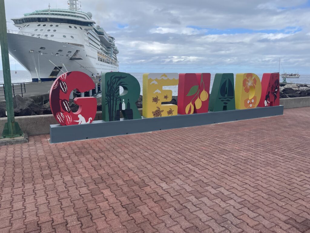
Grenada is an island country in the West Indies. It lies about 100 miles north of the coast of Venezuela.
It consists of the main island of Grenada and two smaller islands (Carriacou and Petite Martinique) along with several smaller islands which lie to the north and are a part of the Grenadines.
Grenada is also known as the “Island of Spice” due to its production of nutmeg, allspice, clove and cinnamon and mace crops.
The first thing that strikes you is that it is built on the side of a mountain. From the port, everything that there is to see is basically vertically straight up. Jill being Jill meant that we (of course) had to walk everywhere. My calves were screaming at me for three days after walking up and down that damn mountain.
Grenada is one of the smallest independent countries in the western hemisphere and you can drive around the whole island in 5 hours. The blurb says that Grenada is an island where you can find spectacular waterfalls and beaches, lush botanical gardens, mystic rainforests, and friendly people at every turn.
It is described as the perfect mix. It is not off the beaten path but neither is it considered as a mainstream tourist haunt. The mountainous interior remains unspoilt and the white sandy beaches are still relatively uncrowded. But there is a good range of hotels on offer along with the usual mix of cafe’s, restaurants and nightlife on offer.
St Georges
The first thing that we did upon arrival was to cut through the Sendall Tunnel to head towards the Carenage. Using the tunnel cuts out at least one arduous hike up and over the damn mountain that splits the centre of town.
The Carenage is the lively waterfront promenade in St. George. It is more of an active and functioning fishing dock than it is a promenade but here you will find great views of the boats, shorefront, blokes preparing the boats to leave for other islands, or welcoming them in, cleaning fish and of course…tons of cats.
Sadly, there was only one way to go from the Carenage, and that was up. There was a hugely overpriced tourist train to take you up the hill but this was left to the fat or immobile oldies on the cruise and we did the hike. In reality, the distances were not that great but the steepness was brutal. The town was relatively compact so it was only about 350-500m between sights, but every move was either up one side or down the other of a damn mountain. And of course, the things to see while up there were churches.
Sadly we were unable to make it to Fort Matthew, an 18th century fort and the the largest of its kind on the island. It was named after the then governor. It offers amazing views of St. George and the Cruise Port.
While we did not make Fort Matthew, we did climb the hill to Fort George. Perched high above the town the fort is now the police headquarters. The only real remnants of the fort are the odd wall and a pair of cannons. Hardly worth the huge uphill trek to find.
fort Frederick was another that we missed. Quite a way out of town, and on a grey and murky day we had to settle for the images of others.
On arrival the weather was pretty crappy, but as the day progressed it did make an attempt to clear up. This meant that our photos were not as grey as the original ones from the port or the Carenage.
Concord Waterfall is made up of 3 different falls at various altitudes. The lowest one is relatively easy to get to but the other two call for a bit more walking and hiking (45 minutes or more).
Black Bay Beach is actually black due to the volcanic sand. It is considered one of the most stunning beaches in the Caribbean. There is a cave to explore but you have to do a 20-minute trek from Concord to get there.
The Grenada Underwater Sculpture Park was created in 2004 in the wake of Hurricane Ivan. It was the world’s first underwater gallery and is an attempt to attract divers away from fragile coral reefs. The statues are made with high-grade stainless steel and pH-neutral marine cement. they are designed to act as artificial coral reefs, with holes and shelters to attract marine life such as octopuses and lobsters, creating a rather spectacular looking habitat.
In 1651 the last of the native Carib Indians fiercely resisted French colonisation by committing a collective act of sacrifice: mass suicide. Together, they all jumped off the cliff and into the ocean. The area where they jumped to their deaths is now known as Carib’s Leap.
Grenada was ok, without being amazing. The prices asked for items were a bit over the top for what they were and the weather was not really our friend on the day we came. The people were friendly and the town was nice, but I think that hiking up and down that mountain all of the time would keep me away from spending too long here (maybe we should have paid for the damn train).
I made it. Bonaire is the 100th place on the official territory list that I have been to. I still have quite a way to go on the official country list, but in terms of nations, I have made the 100. I am about 2 ahead of Jill but she should tick up her 100 in the next week or two.
Kralendijk
Kralendijk is the capital of Bonaire, a Dutch island in the Caribbean Sea. The place is typical of most Dutch territories with colourful architecture dominating most of the buildings.
The main shopping area is Kaya Grandi and the Bonaire Museum has archaeological finds, shells and old photos.
Importantly off the coast is the Bonaire National Marine Park which is a protected area for coral reef and tropical fish.
This Marine park stretches west to Klein Bonaire Island, where the sandy beaches provide a nesting ground for sea turtles. Klein Bonaire was our first port of call as we hopped off the ship and onto a water taxi for a 4-hour snorkel and laze on the beach. Talking to the lounge dude on the boat he told me about the current.
So when you get dropped off on the beach you get set up on the shite fine sandy beach. Once established you walk to the left for about 10 minutes until you get to a yellow pole that says enter here. At this point there is a break in the coral and you can wade out to the other side of the reef. From here you keep the reef to your left and the current will let you float and just drift all the way back to the beach where you started.
The other thing that you notice is that the beach is full of lizards. Officially they are the Bonaire Whiptail but they are these electrically coloured lizards that dart around relentlessly. They were added to when we went across into town and saw a 2 foot long iguana just cruising the streets of town.
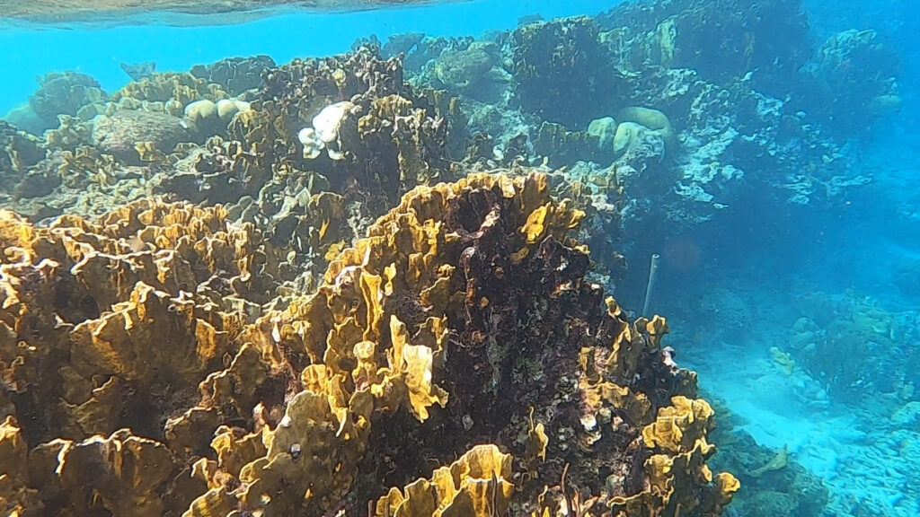
The water is crystal clear and warm, the reef is a bit trodden on but is still in pretty good condition. There is plenty of fish life to see and still lots of live coral. While it is no Great Barrier Reef, it is still a lovely spot to loll about on the beach and experience some nature. Sadly we didn’t see any of the turtles.
Once we got back from the swimming we had some lunch on the ship and changed before hitting Bonaire proper. We had landed in the capital Kralendijk. The main town centre was pretty small but was well appointed.
Added to town was a really nice and usable waterfront area with actual footpaths (often a rarity) and the usual mix of bars and restaurants.
Ad we even got to check out some pretty cool street art. There wasn’t tons, but for such a small place it all added up to create a really nice feel to the place.
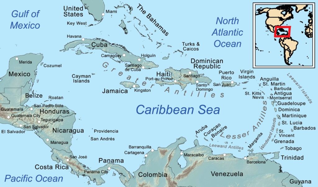
Curaçao is an island nation in the Caribbean (64km long and 16km wide) that is actually a territory of the Netherlands. Curaçao and the neighbouring islands are considered to constitute the southwestern arc of the Lesser Antilles.
The lesser Antilles are usually referred to as the ABC-islands (Aruba, Bonaire & Curacao) as they sit side-by-side (although not alphabetically). Curacao consists of two islands (Cuaracao and Klein Curacao) with the main island having the majority of its 160,000 population. The territory sits about 60 km north of Venezuela and the capital is Willemstad. Unlike Aruba the day before, Willemstad has retained much more of the Dutch characteristics.
The north coast of the island is characterised by a rough coastline with many limestone cliffs, while the southern coast is full of small bays, beaches and inlets.
We landed in the capital, Willemstadt and fell back into our usual pattern of getting up early and hitting the tourist highlights.
The first thing that strikes you is the Dutchness of it all. From the clogs on the street to the narrow houses and colourful facades, the place just screams as to its roots.
The Queen Emma Bridge is a pontoon bridge across St. Anna Bay in Curaçao. The bridge sits on pontoons and is hinged at one end, opening regularly to allow vessels through. An operator controls two diesel engines that turn propellers that are mounted perpendicular to the length of the bridge and allow it to swing open.
The bridge was named after Emma of Waldeck and Pyrmont, who was queen consort of the Netherlands during its construction. Due to the importance of the function of the bridge, the people of Curacao have found a good way of overcoming the ubiquitous Love Locks issue.
Love Locks are a ridiculous phenomenon that has been making their way around the world for decades. This is where people put a padlock with both people’s names on it and attach it to a local bridge, fence, gate, or monument and throw the key into the water…to symbolise their love.
Originally thought to have begun on the Paris’ Pont des Arts it has now spread globally. The issue is that the combined weight of so many locks compromise the structural integrity of the bridge, which is a risk for the bridge and anyone who walks across it. The practice has been banned in many places for this reason. The people of Curacao have built love heart shaped frames on the banks of the river that keep the heavy locks off the functioning bridge.
The main thing that gets you about Curacao is the brightly coloured narrow houses lining the waterfront. True to their dutch roots it is very reminiscent of the Amsterdam canals. The main heart of town is relatively unremarkable with the usual tourist and jewellery shops dominating. That said, it feels safe, is clean and everybody is very friendly.
Curaçao is the home of the oldest continuously inhabited Jewish community originally formed in the 1500 by emigrants from Portugal. The Mikvé Israel-Emanuel Synagogue in Willemstad was completed in 1674.
The Chichi is a colourfully painted, vibrant female figure. She represents the eldest daughter of the family, who binds the family together in a loving and caring way. She is a much-appreciated female role model in the Caribbean community of today and a very live part of its colourful heritage.
If you are brave enough to venture beyond the usual tourist blocks you will find yourself in some of the back blocks where the local street art scene tends to kick in.
Curacao was nice. Our ship stayed here overnight which gave us two full days in port which, based on what we saw was probably a little long. But we did not venture out to find or explore some of the beaches. By all accounts the snorkelling and diving around Curacao is amazing and if that is the case then maybe the extra day should have been spent exploring those sort of options.
What was clear to us, was the water. On our second day we did some computer work on the 6th floor of the boat. From up here Jill was still able to get footage of this turtle swimming in the crystal clear waters 6+ floors below.
Curacao Mark II
The second time on Curacao we decided to bum around on the beach so for the post we decided to summarise some of the beaches that are around. The first thing that you must realise is that many of the beaches are private and therefore come at a cost. They have all of the cool things that you would expect if you were paying for the service. But my Australian sensibilities remain offended at the thought of private beaches.
Avila Beach is one of the closest to town but is privately owned. The palm trees offer plenty of shade and parasols and palapas are available (for a price).
Bluebay Beach is the other way from town and for another fee you can avail yourself of the palm trees, lounge chairs, umbrellas, bar, restaurant, water sports center (diving and sea kayaking!), playground, pool, and showers.
Caracasbaai Beach is not as nice as the first two but it is free. The beach is made of coarse sand and pebbles and is popular for snorkeling and diving because its part of the underwater park.
Daaibooi Beach is again close to town (with a fee), but this beach has good snorkeling along. Pergolas provide shade and there is a snack bar. To the west of the beach, a small trail leads into the countryside.
Klein Curacao is another island about 2 hrs away with white sandy beaches and diving. While it is free, you will have to pay for a boat to get there and back.
Mambo Beach is the most popular and most equipped beach on the island. While there are fees here they are reasonable with it only being around $4 for entry with chairs etc extra.
There are many more beaches on the Island but they involve going much further afield and would be best explored with your own vehicle as the public transportation is infrequent and unreliable.
Our ship stopped at Cozumel in Mexico, but due to the proximity to the UNESCO listed Chichen Itza, we decided to skip Cozumel almost entirely. This may have been a bit of a shame as by all accounts, Cozumel is a beautiful place to kick back and hang.
More accurately, Isla Cozumel is Mexico’s 3rd largest island and is with countless activities both below and above the waves. It is about 30 miles long and 9 miles wide. The name in Mayan translates to “Island of the Swallows” due to the birdlife. The place has been a long time dive Mecca and has white sand beaches, coral reefs, modern amenities and lots of wild areas.
But given that this was not our goal, we had a 7 am start that saw us hopping on a very bumpy 45-minute ferry ride.
The ferry took us from Cozumel over to the mainland Mexican town of Playa del Carmen.
This is a coastal resort town, along the Yucatán Peninsula.
Playa del Carmen is known for its palm-lined beaches and coral reefs. The Quinta Avenida pedestrian thoroughfare runs parallel to the beach, with shops, restaurants and nightspots ranging from bars to dance clubs.
But this wasn’t our goal either, so from here we hopped a bus (well more of a mini-van) for a 2 hour drive through the Mexican countryside. And sure enough, we arrived at our intended destination, Chichen Itza. Chichen Itza is one of the 7 wonders of the world and is a former Mayan city dating back to as early as 250AD. At its peak around 35,000 people would have called it home. It was one of the most important Mayan cities in Latin America.
Chi means “mouths” and chen means “wells” and Itzá is the name of the Maya tribe that settled there. Chichen Itza means “At the mouth of the well of the Itza.” Chichén Itzá is the Spanish spelling and Chichʼen Itzaʼ is the Mayan spelling.
Possibly the most notable thing about the city is the ancient temple Pyramid of El Castillo (Kukulcan Temple). It is the most famous and recognisable of Mexico’s monuments but it was not built by the Mayans but rather in the 10th century by foreign invaders.
The Pyramid of El Castillo rises 24 metres above the Main Plaza area. Each of its four sides has 91 stairs that face north, east, south, and west. Including the step on the top platform, there is a total of 365 steps. This is the same number of days in the solar year.
Beyond the pyramid at the centre, the site contains the remains of the entire city. The site of Chichen Itza occupies an area of around 10 sq/km. And everywhere you go there is more to see. Carved walls pyramids, buildings, sports courts, virtually everything you would expect to find in a major (ancient) city.
The earliest structures built include the Akabtzib (“House of the Dark Writing”), the Chichanchob (“Red House”), the Iglesia (“Church”), the Casa de las Monjas (“Nunnery”), and the observatory El Caracol (“The Snail”).
On the site are caves and sinkholes in limestone formations, known as cenotes. These are natural wells that form when limestone surfaces collapse and expose water underneath.
Tlachtli was a Mayan game that involved keeping a grapefruit-sized rubber ball in the air with the use of thighs, hips, and chest.
It was known by various other names including pok-a-tok, pitz, tlacho, and ulama. In some variations, the goal became knocking the ball through hoop-like stone rings.
And the losers were often sacrificed to the gods.
The most revered beast in the Mayan world was the jaguar.
It was thought that at night the sun slipped into the underworld and would transform into a jaguar.
The animal was linked with warriors and hunters, and became a symbol of the might and authority of the rulers.
The kings and rulers desired the power and spirit of the jaguar.
During the spring and autumn equinoxes (around March 20/21 and September 20/21), the light hits the earth on the equator. When this happens, the shadows cast by the setting sun give the appearance of Quetzalcóatl (a feathered serpent) slithering down the steps.
The Day of the Dead (Dia de los Muertos) is a Mayan Tradition going back to 1800BC that celebrates life with food, dances, and skull masks.
It is believed that the souls of the spirit realm can visit the land of the living, not to haunt people, but to lovingly reconnect with their family and friends.
Chichen Itza was good and we were both glad that we made it here. But it was impossible not to compare this experience with other major places that we have seen around the world, most notably Siem Reap in the Khmer Empire. The two experiences were remarkably similar but the concept of comparison sits poorly with me.
Having looked around the site we had some time to look at some of the trinkets that were available for purchase. I must admit that I actually enjoyed them and would have liked to have got some. There was an amazing carved Mayan Calendar that I loved but the weight and bulk just did not lend itself to ongoing travel.
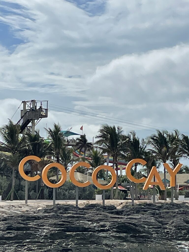
As we traveled around we were dodging a weather front virtually the whole time. As we arrive the weather clears (to give us a nice experience) before closing back in again. It got so bad that the day after our trip to Coco Cay other boats could not dock and the day after Cozumel, the seas were so rough that the ferries could not run.
Travelling the world in a pre and post COVID state